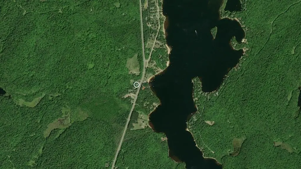
 Esri, Maxar, Earthstar Geographics
 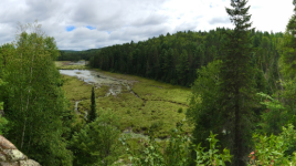 Photo: Ontario Parks
 Algonquin - Hwy 60 Corridor
Ontario Parkswhat to expect
Along the 56-kilometre stretch of Highway 60 through Algonquin Provincial Park there are numerous day use opportunities. Be sure to pick up a copy of our Information Guide when you arrive for more details. Amenities: Algonquin Visitor Centre, Logging Museum and Art Centre Educational Discovery Programs during the summer months 14 interpretive hiking trails ranging from 1 km to 10.8 km 2 bike trails 6 day use picnic areas with washroom facilities 9 boat launches (check maximum horsepower restrictions) 3 lodges Several restaurants, rental facilities and gift shops Accessible walking trails and facilities Limited cell phone service Hwy 60 is a paved highway, but many of the secondary roads are gravel.
Description: Ontario Parks
the basics
the campsites
things to do here
Activities you can do at Algonquin - Hwy 60 Corridor.
things to do nearby
Within 5 km — trails, viewpoints, beaches, boat launches you can reach without packing up camp.
- Oxtongue Lake
- Oxtongue Lake
- Eiler Lake
- Roadline Lake
Plus 9 user-tagged lakes, 1 user-tagged trailhead, 1 user-tagged viewpoint on OpenStreetMap — visible as pins on the map below.
what's around
Algonquin - Hwy 60 Corridor plus 4 named places to see and do nearby — trails, beaches, viewpoints, water, and services.
water + services
- Nearest dump station
what to know
Updated each morning from provincial parks and Environment Canada.
other campgrounds nearby
Other places to stay within 25 km.
- Oxtongue River - Ragged Falls Provincial Park
- High Lake Campsite, Limberlost Forest
- Buck North 5, Limberlost Forest
- Buck North 1, Limberlost Forest
- Algonquin Pines Campground
- Algonquin Trails Resort
- Maple Leaf 9
- Maple Leaf 10
Plus 12 user-tagged dispersed sites on OpenStreetMap — often genuine wild-pitches; check access rights before relying on one.
keep an eye on Algonquin - Hwy 60 Corridor
Every Thursday we send the weekend list: which campgrounds still have sites for the coming weekend, plus fire bans and new conditions. We’ll tag you to this park so its alerts reach you first as they roll out.
One email. Unsubscribe anytime. We don’t share addresses. — chris@calgaryanalytica.ca