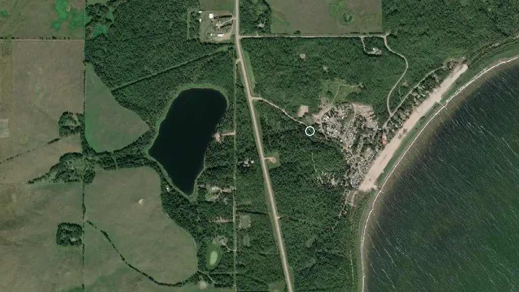
 Esri, Maxar, Earthstar Geographics
 Campsite
Public campground Alberta
water + services
- Nearest dump station
what to know
Updated each morning from provincial parks and Environment Canada.
Road closure reported ~21.7 km away
511 Alberta reports on HWY-41 (as of 2026-09-24): Bridge construction on HWY-41 Both Directions 1.5 Km North of HWY-29. All lanes closed. Width Restriction: 2.3m Activities: One - lane alt traffic, Speed reduction, No wide loads, Be prepared to stop, Expect traffic dela Detour: {"Head toward Range Road 70A on Buffalo Trail Hwy (HWY-41). Go for 21.3 km.","Turn left onto HWY-28. Go for 24.7 km.","Turn left onto Range Road 93 (HWY-881). Go for 20.9 km.","Continue on 40 St (HWY- This may or may not affect your route in — check 511 Alberta before you drive out. 511 Alberta live map →
recent reports
This page told you what we know — tell the next camper what you saw. One tap, no account needed.
other campgrounds nearby
Other places to stay within 25 km.
- Muriel Lake M.D. Park
- Muriel Lake M.D. Park
- Ark Retreat
- Bonnyville RV Park
- Moose Lake Gospel Camp
- Vezeau Beach M.D. Park
- Vezeau Beach on Moose Lake M.D. Park
- French Bay Prov Rec Area
Plus 2 user-tagged dispersed sites on OpenStreetMap — often genuine wild-pitches; check access rights before relying on one.
keep an eye on Campsite
Every Thursday we send the weekend list: which campgrounds still have sites for the coming weekend, plus fire bans and new conditions. We’ll tag you to this park so its alerts reach you first as they roll out.
One email. Unsubscribe anytime. We don’t share addresses. — chris@calgaryanalytica.ca