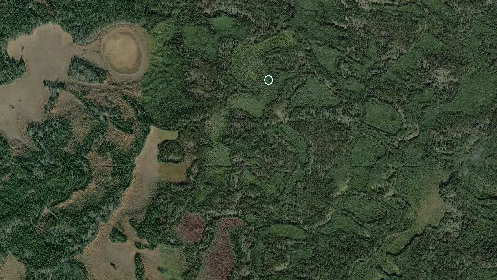
 Esri, Maxar, Earthstar Geographics
 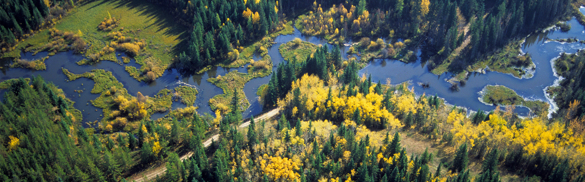 Photo: Fort Assiniboine Sandhills Wildland Provincial Park
 Fort Assiniboine Sandhills Wildland Provincial Park
Alberta Parks inside Fort Assiniboine Sandhills Wildland Provincial Parkwhat to expect
Fort Assiniboine Sandhills was designated a wildland park in 1997. It covers approximately 66 square kilometres along the west shore of the Athabasca River northeast of the Hamlet of Ft. Assiniboine, roughly 40 kilometres northwest of Barrhead. The Athabasca River forms the eastern boundary of the park. The park includes Pemmican Island and other islands in the Athabasca River. The area contains 436 plant species, including rare species and old-growth mixed wood forests over 160 years old. Access to the park is via Highway 661 from the west through Ft. Assiniboine; from the east, access is via Klondyke ferry crossing. Visitors to the park can enjoy bird and wildlife watching, fishing, hiking and horseback riding. Three staging areas, Central, Athabasca Viewpoint and Klondike Trail, provide…
Description: Alberta Parks
the campsites
what to know
Updated each morning from provincial parks and Environment Canada.
recent reports
This page told you what we know — tell the next camper what you saw. One tap, no account needed.
other campgrounds nearby
Other places to stay within 25 km.
- Vega Natural Area
- Klondyke Ferry Municipal Campround
- Woodlands RV Park & River Marina
- Horse Creek Ranch Campground
- Freeman River RV Park
- Holmes Crossing Sandhills Ecological Reserve
Plus 1 user-tagged dispersed site on OpenStreetMap — often genuine wild-pitches; check access rights before relying on one.
keep an eye on Fort Assiniboine Sandhills Wildland Provincial Park
Every Thursday we send the weekend list: which campgrounds still have sites for the coming weekend, plus fire bans and new conditions. We’ll tag you to this park so its alerts reach you first as they roll out.
One email. Unsubscribe anytime. We don’t share addresses. — chris@calgaryanalytica.ca