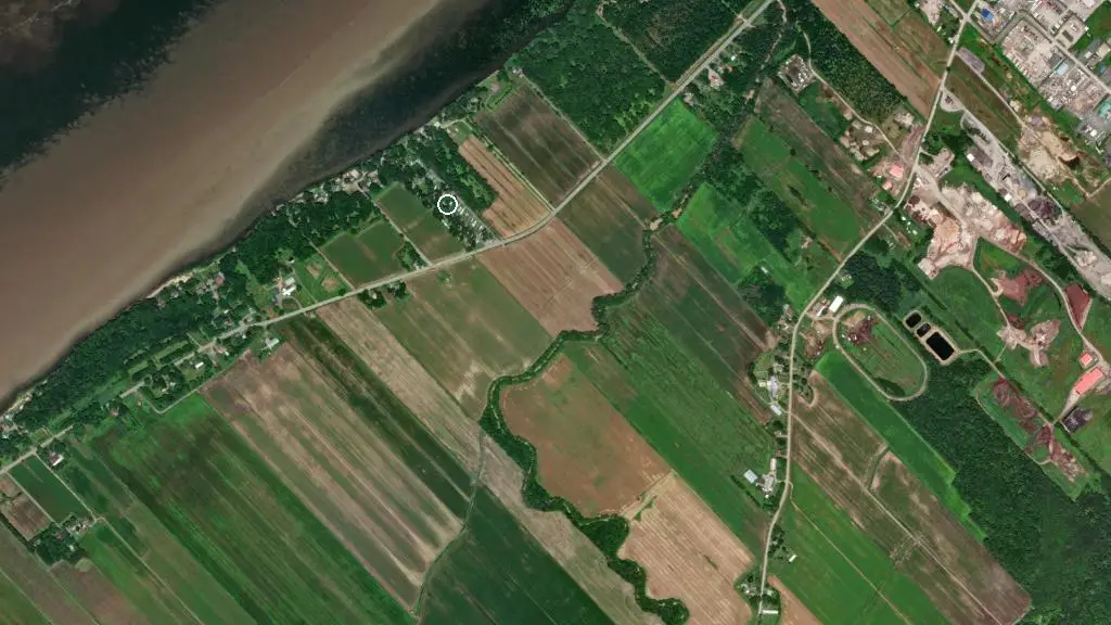
 Esri, Maxar, Earthstar Geographics
 Le Refuge du Campeur
Public campgroundthings to do nearby
Within 5 km — trails, viewpoints, beaches, boat launches you can reach without packing up camp.
- Fleuve St-Laurent (doré, brochet)
- Fleuve St-Laurent (doré, brochet)
- Rue Notre-Dame (Doré, brochet)
Plus 3 user-tagged boat launches, 2 user-tagged viewpoints, 1 user-tagged fishing access on OpenStreetMap — visible as pins on the map below.
what's around
Le Refuge du Campeur plus 3 named places to see and do nearby — trails, beaches, viewpoints, water, and services.
water + services
- Nearest dump station
- Nearest potable water
what to know
Updated each morning from provincial parks and Environment Canada.
recent reports
This page told you what we know — tell the next camper what you saw. One tap, no account needed.
other campgrounds nearby
Other places to stay within 25 km.
- CAMPING LE REFUGE DU CAMPEUR 2007
- PARC DE MOTORISÉS GODEFROY
- CAMPING PORT SAINT-FRANÇOIS
- Camping Port-Saint-François
- Club Récréatif Pointe-du-Hameau
- Camping des Fougères
- CAMPING DE L'ÎLE SAINT-QUENTIN
- Camping H2O
Plus 3 user-tagged dispersed sites on OpenStreetMap — often genuine wild-pitches; check access rights before relying on one.
keep an eye on Le Refuge du Campeur
Every Thursday we send the weekend list: which campgrounds still have sites for the coming weekend, plus fire bans and new conditions. We’ll tag you to this park so its alerts reach you first as they roll out.
One email. Unsubscribe anytime. We don’t share addresses. — chris@calgaryanalytica.ca