 Esri, Maxar, Earthstar Geographics
 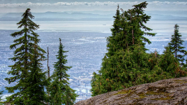 Photo: BC Parks
 Mount Seymour Provincial Park
BC Parks inside Mount Seymour Parkwhat to expect
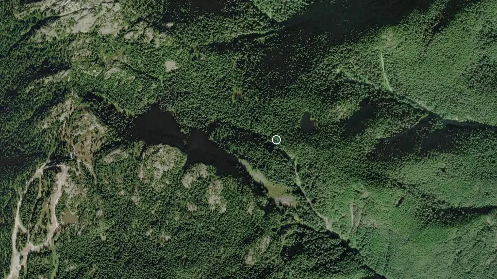
Located just 30 minutes from downtown Vancouver, Mount Seymour Park has been enjoyed by generations of Lower Mainland residents. The park offers viewpoints overlooking the city of Vancouver, Mount Baker, and east over Indian Arm Park. There are opportunities for bird and wildlife viewing, and four areas for day-use picnicking are available. There are several lakes in the park. Elsay Lake is the largest. Its waters and those of De Pencier, Gopher, and Goldie drain eastward to Indian Arm. Some of the smaller lakes and ponds feed their waters west to the Seymour River. You will find many trails of various lengths and difficulty. Lower mountain trails are used extensively by mountain bikers and hikers, while upper mountain trails are for hiking only. Winter trails are put in place each year. …
Description: BC Parks
the campsites
things to do here
Activities you can do at Mount Seymour Provincial Park.
things to do nearby
Within 5 km — trails, viewpoints, beaches, boat launches you can reach without packing up camp.
- Hastings Lake
- DePencier Lake
- Theta Lake
- Mount Seymour Provincial Park Information Board
- Mount Seymour Provincial Park Information Board
- First Lake Overlook
- Cascade Bluff Lookout
- Thwaytes Landing
Plus 17 user-tagged viewpoints, 12 user-tagged beaches, 9 user-tagged lakes, 4 user-tagged climbing crags, 2 user-tagged trailheads on OpenStreetMap — visible as pins on the map below.
what's around
Mount Seymour Provincial Park plus 8 named places to see and do nearby — trails, beaches, viewpoints, water, and services.
water + services
- Nearest dump station
- Nearest potable water
what to know
Updated each morning from provincial parks and Environment Canada.
other campgrounds nearby
Other places to stay within 25 km.
- Seymour Group Campsite
- Twin Island
- Island Pond
- Bishop Creek Campsite
- Bishop Creek Marine Campground
- Berg's Landing
- Anmore Camp & RV Park
- Granite Falls Campsite
Plus 3 user-tagged dispersed sites on OpenStreetMap — often genuine wild-pitches; check access rights before relying on one.
keep an eye on Mount Seymour Provincial Park
Every Thursday we send the weekend list: which campgrounds still have sites for the coming weekend, plus fire bans and new conditions. We’ll tag you to this park so its alerts reach you first as they roll out.
One email. Unsubscribe anytime. We don’t share addresses. — chris@calgaryanalytica.ca