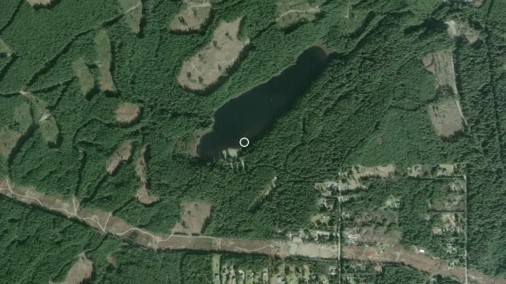
 Esri, Maxar, Earthstar Geographics
 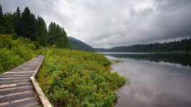 Photo: BC Parks
 Rolley Lake Provincial Park
BC Parks inside Rolley Lake Parkwhat to expect
Less than an hour drive from Vancouver, Rolley Lake Park provides a quick escape from urban life. The park is a predominately flat, wilderness area blanketed with tall, second-growth conifers. The small, warm-water lake provides opportunities for swimming, fishing, and canoeing. Sixty-four campsites are nestled in the trees just minutes from the lakeshore. Visitors can also enjoy picnicking and short hikes.
Description: BC Parks
the basics
find more: campgrounds with playgrounds near here → ·campgrounds with showers near here →
the campsites
things to do here
Activities you can do at Rolley Lake Provincial Park.
things to do nearby
Within 5 km — trails, viewpoints, beaches, boat launches you can reach without packing up camp.
- Rolley Lake Beach
- Rolley Lake
- Rolley Falls Trail
- Stave Falls Interp. Trail
- Hayward Lake Main Beach
- Reservoir Trail Trailhead
- Steelhead Falls Viewing Platform
- Hayward Lake Off-Leash Dog Beach
Plus 16 user-tagged viewpoints, 5 user-tagged trailheads, 5 user-tagged beaches, 2 user-tagged lakes, 1 user-tagged climbing crag, 1 user-tagged boat launch on OpenStreetMap — visible as pins on the map below.
what's around
Rolley Lake Provincial Park plus 9 named places to see and do nearby — trails, beaches, viewpoints, water, and services.
water + services
- BC Parks dump station
1 user-tagged dump station on OpenStreetMap.
what to know
Updated each morning from provincial parks and Environment Canada.
other campgrounds nearby
Other places to stay within 25 km.
- Rock Creek Recreation Site
- Lower Kearsley Creek Recreation Site Equestrian Campsite
- Lower Kearsley Creek Recreation Site
- East Beach Marine Campround
- Rocky Point Recreation Site
- Stave Island Dispersed Site
- Sayres Lake Recreation Site
- South Sayres Group Site
Plus 13 user-tagged dispersed sites on OpenStreetMap — often genuine wild-pitches; check access rights before relying on one.
keep an eye on Rolley Lake Provincial Park
Every Thursday we send the weekend list: which campgrounds still have sites for the coming weekend, plus fire bans and new conditions. We’ll tag you to this park so its alerts reach you first as they roll out.
One email. Unsubscribe anytime. We don’t share addresses. — chris@calgaryanalytica.ca