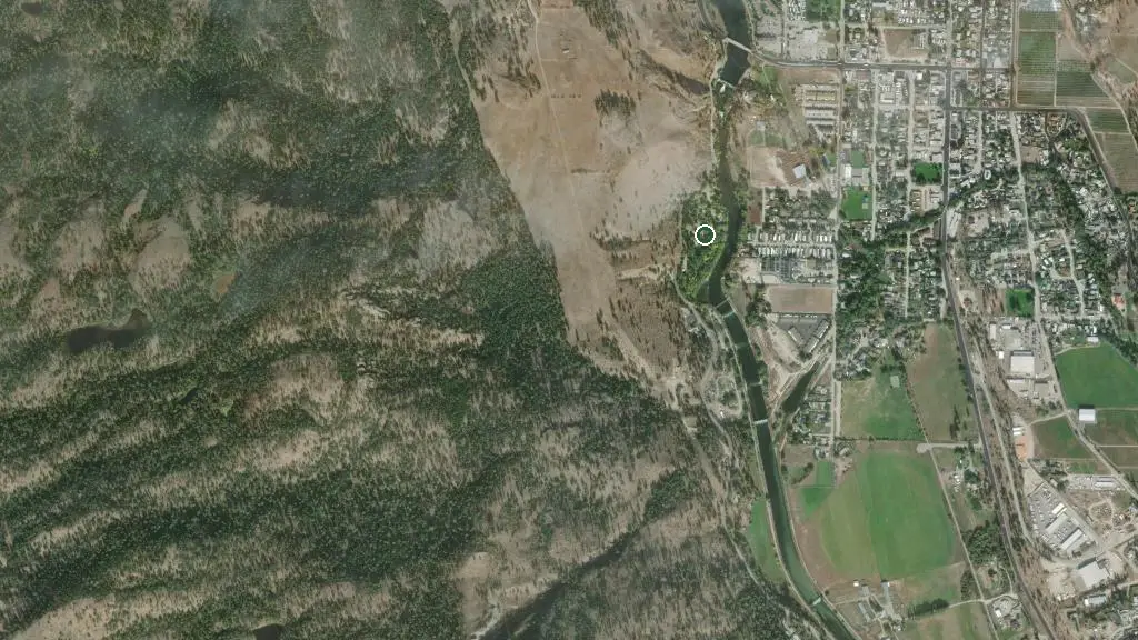
 Esri, Maxar, Earthstar Geographics
 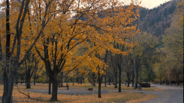 Photo: BC Parks
 sx̌ʷəx̌ʷnitkʷ Provincial Park (Okanagan Falls)
BC Parks inside SX̌ʷƏX̌ʷNITKʷ PARKwhat to expect
sx̌ʷəx̌ʷnitkʷ Park is proudly managed and operated by the Osoyoos Indian Band. It is located within the traditional territory of the Osoyoos Indian Band. Since time immemorial, the Osoyoos Indian Band’s ancestors have inhabited and cared for the lands and waters in their traditional territory. Below is a link to an audio file. The nqilxʷcən/nsyilxcən place name for sx̌ʷəx̌ʷnitkʷ Park was recorded by Osoyoos Indian Band Elder Jane Stelkia and Westbank First Nation Elder and language teacher Delphine Armstrong. Jane’s nqilxʷcən skʷist (traditional name) is qʷʕayxnmitkʷ xʷəstalk̓iyaʔ. Delphine’s nqilxʷcən skʷist (traditional name) is ɬək̓əmxnalqs. How to pronounce sx̌ʷəx̌ʷnitkʷ [MP3] In 2015, the park was renamed to reflect the traditional Okanagan place name for the area. The nqilxʷcən/nsyi…
Description: BC Parks
the basics
the campsites
things to do here
Activities you can do at sx̌ʷəx̌ʷnitkʷ Provincial Park (Okanagan Falls).
things to do nearby
Within 5 km — trails, viewpoints, beaches, boat launches you can reach without packing up camp.
- Kettle Valley Rail Trail (south of Penticton)
- Goldfish Pond
Plus 4 user-tagged boat launches, 3 user-tagged beaches, 3 user-tagged viewpoints on OpenStreetMap — visible as pins on the map below.
what's around
sx̌ʷəx̌ʷnitkʷ Provincial Park (Okanagan Falls) plus 2 named places to see and do nearby — trails, beaches, viewpoints, water, and services.
water + services
1 user-tagged water source on OpenStreetMap.
what to know
Updated each morning from provincial parks and Environment Canada.
other campgrounds nearby
Other places to stay within 25 km.
- Sun & Sand RV Park
- St. Andrews By The Lake
- White Lake
- Okanagan Falls Trails Recreation Site Campground
- Vaseux Lake Provincial Park.
- Camp-Along RV Resort
- Banbury Green
- Okanagan Falls Trails
Plus 9 user-tagged dispersed sites on OpenStreetMap — often genuine wild-pitches; check access rights before relying on one.
keep an eye on sx̌ʷəx̌ʷnitkʷ Provincial Park (Okanagan Falls)
Every Thursday we send the weekend list: which campgrounds still have sites for the coming weekend, plus fire bans and new conditions. We’ll tag you to this park so its alerts reach you first as they roll out.
One email. Unsubscribe anytime. We don’t share addresses. — chris@calgaryanalytica.ca