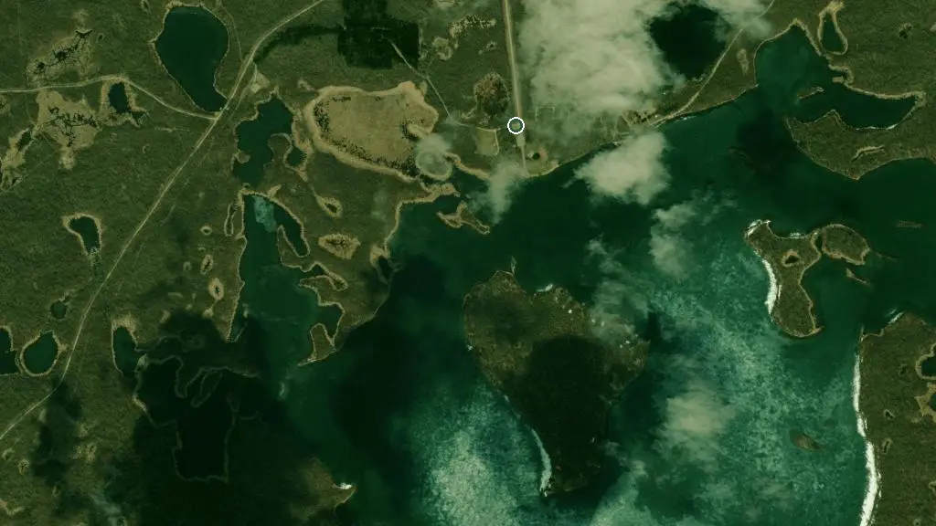
 Esri, Maxar, Earthstar Geographics
 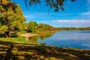 Photo: Manitoba Parks
 Turtle Mountain Provincial Park - Max Lake Campground
Manitoba Parkswhat to expect
Max Lake group use area is in the Turtle Mountain Provincial Park. This is a great area for fishing and canoeing. There are 3 group use areas with a three unit minimum for each area. Located in the Campground Boat launch, dump station, fishing (license required), kiosk (at entrance to campground), modern washrooms, picnic areas, picnic shelter, pit privies, playground, solar showers, swimming (unsupervised beach), and water taps. Located in the Park Boating and canoeing (Max Lake), and hiking. Located Outside the Park Firewood (available for purchase) and golf (18 holes, Killarney). Located in Boissevain Church, convenience store, doctor, drug store, gas station, gift shop, and golf (9 holes), restaurant.
Description: Manitoba Parks
the basics
find more: campgrounds with showers near here →
the campsites
things to do nearby
Within 5 km — trails, viewpoints, beaches, boat launches you can reach without packing up camp.
- Max Lake
- Lulu Lake
- Emma Lake
Plus 8 user-tagged lakes, 1 user-tagged beach on OpenStreetMap — visible as pins on the map below.
what's around
Turtle Mountain Provincial Park - Max Lake Campground plus 3 named places to see and do nearby — trails, beaches, viewpoints, water, and services.
what to know
Updated each morning from provincial parks and Environment Canada.
other campgrounds nearby
Other places to stay within 25 km.
- Max Lake Group Use Area
- Oskar Lake Walk-in Campground
- Adam Lake Campground
- Turtle Mountain Provincial Park - Adam Lake Campground
- Adam Lake Equestrian Campground
- Turtle Mountain Provincial Park - William Lake Campground
- Boissevain Lions Campground
Plus 3 user-tagged dispersed sites on OpenStreetMap — often genuine wild-pitches; check access rights before relying on one.
keep an eye on Turtle Mountain Provincial Park - Max Lake Campground
Every Thursday we send the weekend list: which campgrounds still have sites for the coming weekend, plus fire bans and new conditions. We’ll tag you to this park so its alerts reach you first as they roll out.
One email. Unsubscribe anytime. We don’t share addresses. — chris@calgaryanalytica.ca