 Esri, Maxar, Earthstar Geographics
  Photo: Alberta Parks
 Wild Horse Provincial Recreation Area
Alberta Parkswhat to expect
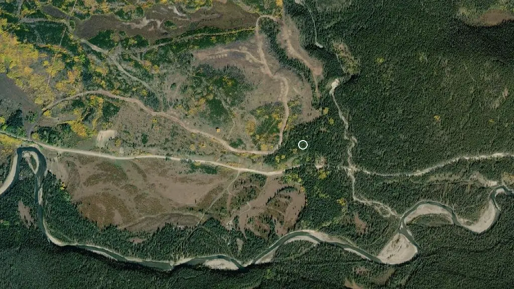
Wild Horse Provincial Recreation Area is located 65 km southwest of Sundre along Yaha Tinda road, and is within driving distance of scenic hiking trails to Bighorn Falls and Eagle Lake. The park features a group use area near the Red Deer River that provides a base for those wishing to fish, hike, relax, or explore the near-by OHV trails. This is a self-maintained group use area operated by the Friends of the Eastern Slopes . A nightly fee is not charged; however, campers are encouraged to purchase an annual membership to support their operation. OHV off-loading within the campground and travel on established roadways during daylight hours is permitted within Wild Horse Provincial Recreation Area. Off-road travel is not permitted within the park, and the maximum permissible speed for OHV o…
Description: Alberta Parks
the basics
the campsites
things to do here
Activities you can do at Wild Horse Provincial Recreation Area.
things to do nearby
Within 5 km — trails, viewpoints, beaches, boat launches you can reach without packing up camp.
Plus 2 user-tagged viewpoints on OpenStreetMap — visible as pins on the map below.
water + services
- Nearest dump station — Dump Station
what to know
Updated each morning from provincial parks and Environment Canada.
recent reports
This page told you what we know — tell the next camper what you saw. One tap, no account needed.
other campgrounds nearby
Other places to stay within 25 km.
- Random
- Mukwah Rafting Tours
- Barrier Mountain Outfitters
- Sunset Guiding & Outfitting
- The Lodge at Panther River
- Panther Campground
- The Lodge at Panther River
- Mountain-Aire Resort
Plus 12 user-tagged dispersed sites on OpenStreetMap — often genuine wild-pitches; check access rights before relying on one.
keep an eye on Wild Horse Provincial Recreation Area
Every Thursday we send the weekend list: which campgrounds still have sites for the coming weekend, plus fire bans and new conditions. We’ll tag you to this park so its alerts reach you first as they roll out.
One email. Unsubscribe anytime. We don’t share addresses. — chris@calgaryanalytica.ca